Topace Galaxy Sdn Bhd added new photo in TOTAL STATION
Nov 6, 2023 at 10:03 am —
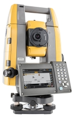
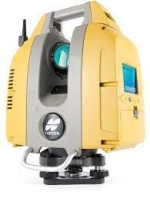
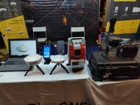
TOPCON GT1200 ROBOTIC TOTAL STATION
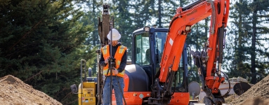
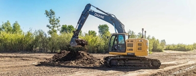
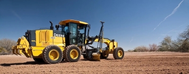
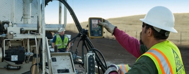
Why use a robotic total station? Robotic total stations help measure distances and angles for a variety of projects, such as construction, mapping, engineering, and land surveying. In addition to measuring, these versatile instruments can also interact with machine control platforms to provide precision 3D operation, even when satellite signals are not an option. Surveying uses Robotic total stations are often used by “single-person surveying teams” to create three-dimensional maps of project areas, designs, and volume calculations; to verify as-built conditions or property boundaries; and to check grade. Contractor layout and measuring Robotic total stations can be used to stake out jobsites, lay out points on concrete decks, check elevations, calculate building dimensions, and to ensure that equipment and fixtures are installed in the correct locations. read more
